

Plenary Event Program
12:00 PM - 7:30 PM
Yates Auditorium
Department of the Interior (DOI)
Visitor Entrance on C Street NW
1849 C Street NW
Washington, DC 20240

#FedGeoDay
@FedGeoDay_US

Use Mentimeter to Continue FedGeoDay Q&A Discussions
Scan the QR Code or go to the FedGeoDay Menti Poll
FedGeoDay Menti Poll Results (Embedded Below)

12:00 PM REGISTRATION OPENS
Department of the Interior (DOI) Yates Auditorium
1:00 PM
WELCOME REMARKS
David Carter
Department of the Interior (DOI)
Geospatial Information Officer (GIO)

1:10 PM
OPENING PANEL
Driving Federal Collaboration with OpenStreetMap
OpenStreetMap and Open Mapping continues to grow as a means for Federal agencies to source, edit, share and publish data. Leaders from across agencies and their partners discuss how they are using open mapping to meet their program requirements.
Moderator
Aaron Kelley
UpSlope Advisors
Panelists
Derald Dudley
U.S. Department of Transportation (DOT)
Transportation Theme Lead for the National Spatial Data Infrastructure (NSDI)
Co-Chair of the Geospatial Data Act (GDA) Working Group
Doug Beridon
National Geospatial-Intelligence Agency (NGA)
NSG Open Mapping Enclave (NOME) Program
Jason Kamprowski
National Geospatial-Intelligence Agency (NGA)
OpenStreetMap (OSM) Product Manager
Adriana Lard
Federal Emergency Management Agency (FEMA)
Crowdsourcing Coordinator
Maggie Cawley
OpenStreetMap US
Executive Director

1:50 PM
KEYNOTE
Frontiers of Open Land Imaging for Data Science
The Sustainable Land Imaging (SLI) Program is a collaboration between the National Aeronautics and Space Administration (NASA) and the Department of the Interior (DOI) United States Geological Survey (USGS) to ensure the continuation of no-cost, high-quality, and global land-imaging measurements compatible with the existing Landsat record dating back to 1972. This talk provides an overview of the development of data science methods at USGS to advance the utility of the Landsat data archive needed to explain, model, and ultimately forecast changes to the Earth's land surface in support of decision-making for societal benefit. The availability of Landsat Analysis Ready Data (ARD) released in 2017 by the USGS over the United States facilitated the development of time-series products as demonstrated through the USGS Land Change Monitoring, Assessment, and Projection (LCMAP) initiative. A long-term objective is to develop a strategic framework for leveraging multiple Earth observing space systems collectively via harmonized observations, together with data science methodology as part of an open global land imaging and science capability.
U.S. Geological Survey (USGS)
Acting Director for the Earth Resources Observation and Science (EROS) Center
Dr. Pete Doucette is the Acting Director for the Earth Resources Observation and Science (EROS) Center in Sioux Falls, South Dakota. EROS is part of the U.S. Geological Survey (USGS) in the U.S. Department of the Interior (DOI). The EROS mission is to develop and operate Landsat satellites, and provide land change science data to support our understanding of the changing Earth. Dr. Doucette began his career in geospatial science in 1990, which has included positions with the federal government, a national lab, and the private sector. His past activities include research & development in remote sensing, machine learning, computer vision, and spatial analysis. He holds a Ph.D. in Spatial Information Engineering (UMaine), M.S. in Geomatics (Purdue), and B.S. in Physics (UMaine).
2:30 PM
LIGHTNING TALKS
GeoPlatform Terriamap Overview
Terriamap is a map application used to display geographic services of GeoPlatform NGDAs. Utilizing terria.js, Terriamap enables users to search, view and explore catalogs of geographic tiles and services. Check out the GeoPlatform Terriamap Demo for a general overview of the Terriamap UI and how to use URL parameters to dynamically load resources. The lightning talk video provides an overview of the features and data available in Terriamap for GeoPlatform.
Ian Shiland
Locana (GeoPlatform Contractor)
Software Engineer
Detecting Suspect Changes to OpenStreetMap (OSM)
A short lightning talk describing the work we've done in detecting suspicious changes to OpenStreetMap to increase confidence in open geospatial data used by the Warfighter.
Eric Willis
Reinventing Geospatial, Inc. (RGi)
Senior Data Scientist
Building Scalable, Open-Source APIs with PostGIS
In this lightning talk, Jacob Coblentz will walk through creating and deploying lightweight web APIs with pg_tileserv and pg_podman. He'll talk through the advantages of a Postgres backend, and the flexibility it gives stakeholders to build adaptable APIs.
Jacob Coblentz
Crunchy Data
Spatial Data Engineer
2:45 PM
PANEL
Open Geospatial Science for Advancing Human Security
Open geospatial data across academic, commercial, and government providers have an omnipresent impact on human security and crisis response operations. The open science needed to build this data, including the challenges with translation of research to operational capabilities, often receives much less attention. This panel will discuss recent human security research projects that culminated in open data releases, and the challenges faced and overcome in the process of rapidly supporting domestic and international crisis situations.
Moderator
Carter Christopher, Ph.D.
Geospatial Science and Human Security Division, Oak Ridge National Laboratory (ORNL)
Head of Human Dynamics R&D Section
Panelists
Caitlin Howarth
Humanitarian Research Lab, Yale University School of Public Health
Director of Operations, Conflict Observatory
Dan Runfola, Ph.D.
geoLab, College of William and Mary
Professor of Applied Science and Data Science
Lisa Colson
Foreign Agricultural Service, U.S. Department of Agriculture (USDA)
GIS & Imagery Specialist

3:35 PM
LIGHTNING TALKS
Keeping Up with Geospatial and Open Data Mandates
With mandates promoting open data and data discovery, such as the Geospatial Data Act of 2018 and the Open, Public, Electronic, and Necessary (OPEN) Government Data Act, government agencies are adapting, innovating, and working hard to meet the posed requirements. During this lightning talk, we will provide an overview of the Census Bureau Geography Division’s efforts to implement new ways of working and employing open-source software to ensure our data and metadata meet necessary standards and are Findable, Accessible, Interoperable, and Reusable (FAIR) for data users. We hope to open the door for collaboration and to learn from others’ similar endeavors.
Allison Shafer
U.S. Census Bureau
Supervisory Geographer
Public Domain Map
Public Domain Map bridges the gap between authoritative government data and volunteered geographic data. Learn how your agency can leverage the power of license-compatible crowdsourced mapping while contributing verified data OpenStreetMap. For more information, visit: PublicDomainMap.org
Quincy Morgan
OpenStreetMap US
Technical Lead
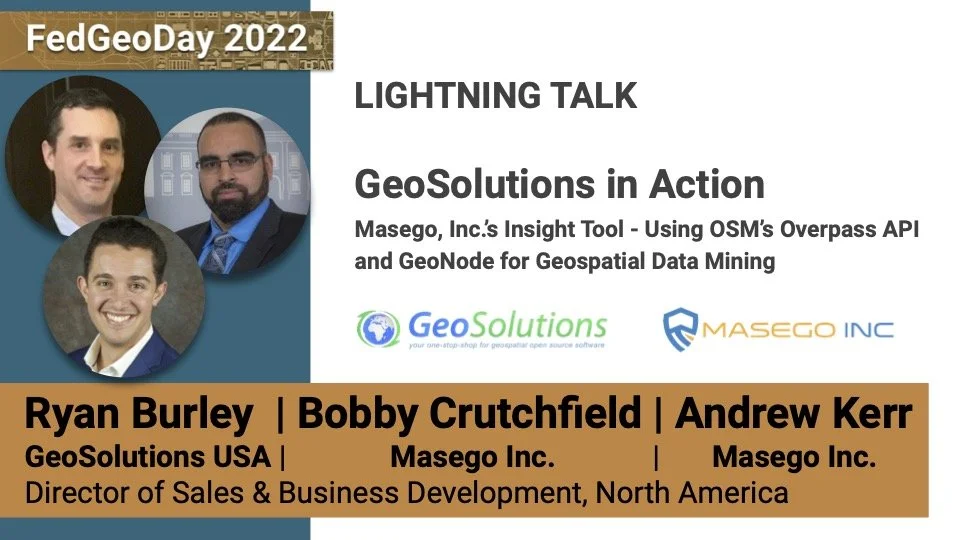
GeoSolutions in Action: Masego, Inc.'s Insight tool - Using OSM's Overpass API, and GeoNode for Geospatial Data Mining
Thin client and intermittent, low bandwidth users face challenges with geospatial data discovery, editing, and export. All users face issues locating, acquiring, and utilizing the most current, complete, and comprehensive datasets. Masego Inc.'s Insight tool and ADADATA human geography SaaS platform are two examples of addressing real-world customer challenges and requirements utilizing best in class OSM & OSGeo tools powered by GeoSolutions.
Ryan Burley
GeoSolutions USA
Director of Sales & Business Development
Bobby Crutchfield
Masego Inc.
Founder & Chief Executive Officer
Andrew Kerr
Masego Inc.
Chief Technology Officer
Open Geospatial Consortium (OGC) Open Information Ecosystem for Disaster Resilience
The OGC Innovation Program has helped advance OGC standards for geospatial data analysis and portrayal, data packaging, on-and-offline usage, data discovery & processing, cloud computing, small & large scale infrastructures, and much more. When a disaster strikes, disaster relief drives the need to quickly integrate and analyze real-time data streams from multiple sources to plan responses and monitor the evolving situation. Improving the ability of key disaster decision makers and responders to discover, manage, access, transform, share, and exploit location-based and Earth Observation data enhances disaster awareness and improves readiness, resilience, and response through standards-based collaboration in an open information ecosystem to ensure disaster resilience.
Josh Lieberman, Ph.D.
Open Geospatial Consortium (OGC)
Director, Innovation Program
Think Open Source: Using QGIS to Capture Geographic Updates from Tens of Thousands of U.S. State, Tribal, & Local Governments
Gunnison Consulting Group designed and developed an award winning GIS application to support 14 Census Bureau geographic programs using an open-source, license-free architecture and housed in a powerful, custom QGIS plugin. Leah Onuoha, project manager for the Geographic Update Partnership Software (GUPS) development team, will share why governments should consider the wide world of open-source GIS tools when synthesizing GIS solutions that are easy to use, secure, fast, scalable, and versatile. In 2022, you can actually get more than you paid for.
Leah Onuoha
Gunnison Consulting Group, Inc.
Program Director
SpaceNet 8: Applied Machine Learning for Multi-class Feature Extraction and Flood Detection
SpaceNet is an initiative dedicated to accelerating open-source, artificial intelligence applied research for geospatial applications, specifically foundational mapping. It is run by co-founder Maxar and partners IEEE GRSS, Oak Ridge National Laboratory, Amazon Web Services (AWS) and Topcoder. SpaceNet fosters innovation through open datasets, prize challenges, machine learning algorithms, and tools. This lightning talk will highlight results from the recent SpaceNet 8 challenge.
Todd Bacastow
Maxar
Senior Director, Partnership Development | SpaceNet, General Manager
4:15 PM
CLOSING PANEL
Value of Open Source Software for Federal Programs
Open source software and sharing code continues to grow in importance that unlocks tremendous potential for Federal programs. Expert practitioners from across Federal agencies discuss lessons learned, best practices, and real world examples of open source software in action.
Moderator
Sophia B Liu, Ph.D.
U.S. Geological Survey (USGS) Science & Decisions Center
Participatory Innovation Specialist
Panelists
Amanda Bright
National Geospatial-Intelligence Agency (NGA)
Lead Artificial Intelligence Data Scientist
Chris Rasmussen
National Geospatial-Intelligence Agency (NGA)
Tearline Project Founder & Program Manager
Justin Rice, Ph.D.
NASA Goddard Space Flight Center
Deputy Manager for ESDIS Project’s Science Systems Development Office
Nathan Frantz
U.S. Army Corps of Engineers (USACE) Engineer R&D Center (ERDC) | TAK.gov
Geographer & Program Manager
Rory Nealon
U.S. Agency for International Development (USAID) GeoCenter
Senior GIS Analyst & YouthMappers Activity Manager

Additional Lightning Talks
Open Source Technologies Driving Mission Results
Overview of several recent implementations of open source technologies that are improving outcomes across Federal programs and NGOs.
Rob Pitts
New Light Technologies (NLT)
Executive Vice President
USA Structures: First Baseline Structure Inventory with Critical Attribution for the US and its Territories
Leveraging high performance computing, remote sensing, geographic data science, machine learning, and computer vision, Oak Ridge National Laboratory (ORNL) has partnered with Federal Emergency Management Agency (FEMA) to build the first comprehensive baseline structure inventory covering the US and its territories to support disaster preparedness, response, and recovery. We will talk about the status of the dataset, and the ongoing plans to maintain and update the structure inventory.
Lexie Yang, Ph.D.
Oak Ridge National Laboratory (ORNL)
Research Scientist, Geospatial Science and Human Security Division


5:30 - 7:30 PM
NETWORKING RECEPTION
Join us for a networking reception across the street at the American Red Cross in the Hall of Service!
Enjoy free food and drinks brought to you by all the sponsors!
American Red Cross
Hall of Service Room
730 E Street NW
Washington, DC 20006